The South River Dam was, at one time, known as Dunbar Falls. The South River was once a popular hunting and trapping route for the Indigenous population and the river was given its name because it was the only river entering Lake Nipissing from the south.
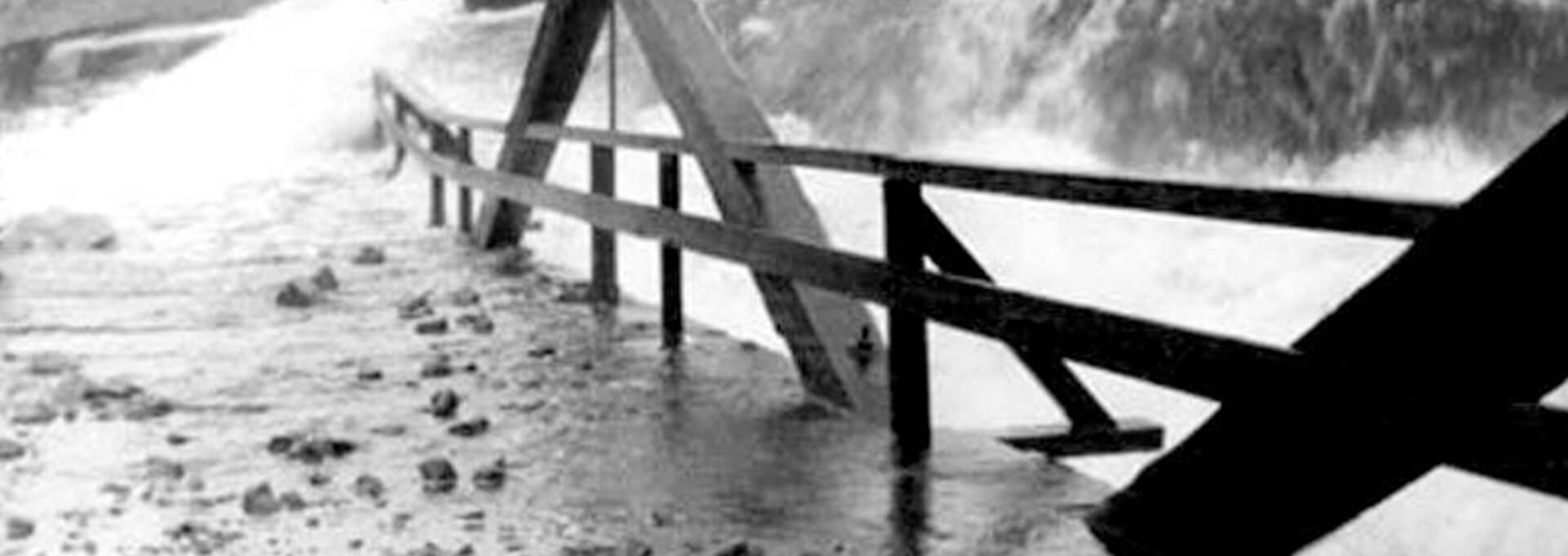
In the late 1800s, logging began to take hold in South River and the surrounding area with the Fraser Lumber Company making ‘improvements’ to the river like adding dams and log chutes. The river is a single bed which drops approximately 20 metres (about 60 to 70 feet) and then divides into two channels – the north channel, and the south channel. A man named Dunbar is said to have cleared the land at the top of where the falls start to drop off.
Shortly after the land was cleared, a railway route was surveyed through the area, crossing the river at the top of the falls above the two channels. Another settler by the name of William Erv blasted a wheel pit into the bedrock of the falls South Channel and made improvements to direct the water to the wheel of his water powered sawmill.
In 1884, the survey was completed and the falls were dubbed “Dunbar Falls.” J.R. Booth, (Learn more at Fingerprints of J.R. Booth story panel), built a timber crib dam that was about six feet wide and 40 feet long with a gate and log slide using the falls North Channel. Timber crib dams were common at the time, most often constructed of heavy timbers stacked like a log house and filled in with earth or rubble.
Several changes were made throughout the remainder of the late 1880s to direct water to operations like a water turbine powered Grist Mill, which was started by local settler, D.H. Downie.
Hydro production was updated by 1940 with the addition of wood flume to channel the flow.
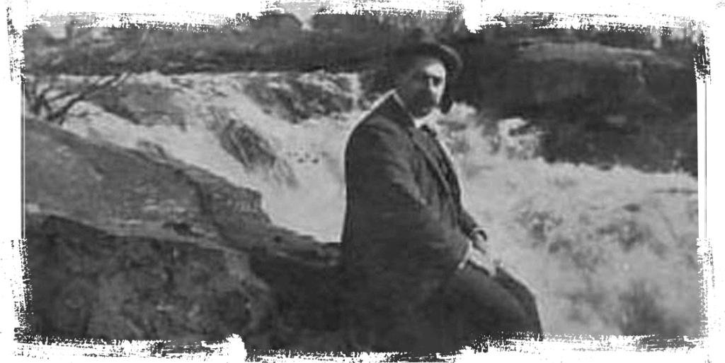
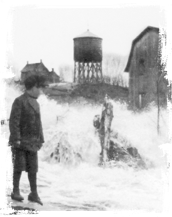
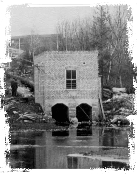
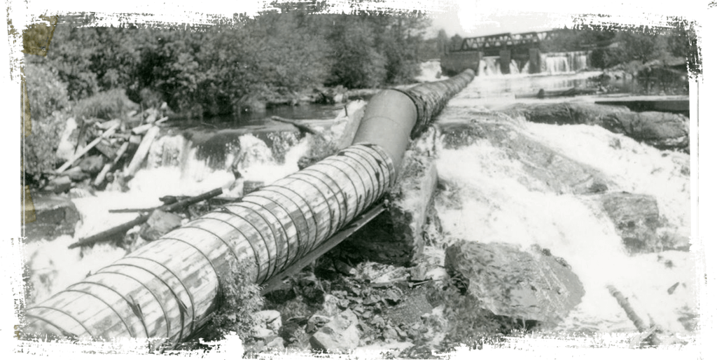
Hydroelectricity production at the site dates to 1909 when local entrepreneur and landowner Henry Ward constructed the first generation station. Originally built with a wood-stave pipeline and a single turbine, the capacity of the plant was increased over the years as demand grew, eventually incorporating three turbines and a second penstock. Henry’s daughter Alice married Robert A. Whitehead, and for more than half a century, the Whitehead family managed the production of energy at the site. The generating station was the sole source of electricity for South River and Sundridge area for several decades.
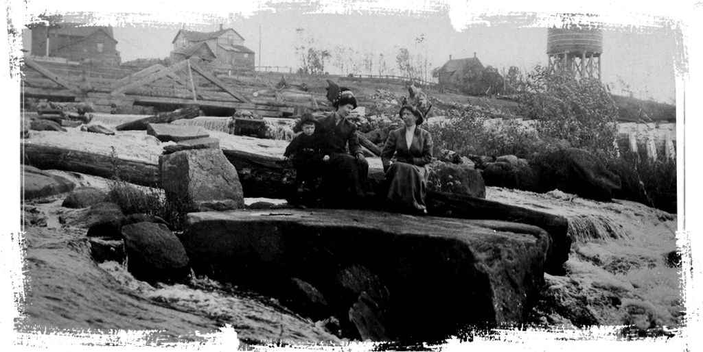
Once cameras became more accessible, the South River became a favourite stop for photographers. One photographer, by the name of Lily Faulkner, named one of her photographs ‘Fairy Falls’ and published it as a postcard.
When the area was connected to the provincial grid in the 1960s, and the prevailing wisdom at the time was to rely on larger centralized generating stations, the South River facility was deemed too small to be operated efficiently and was eventually decommissioned.
With time and changing circumstances came a renewed interest in the green energy potential of the naturally occurring 20 metre drop of the river’s elevation at this site. In 1999, the Village of South River began exploring the possibility of developing a new generating station. While the Village progressed with the environmental assessment and preliminary engineering, Ontario’s Renewable Energy policies continued to evolve.
In 2008, the project became part of the Renewable Energy Standard Offer Program, providing the certainty necessary for financing the new construction. The new facility was commissioned in 2011, providing roughly four million kilowatt hours of clean, renewable energy annually to the provincial electricity grid.
The redevelopment of the South River Hydroelectric Generating Station was envisioned by the community and its leaders, and is owned by the Corporation of the Village of South River.